Last Updated on 14 August 2023 by Poorna & Brinda
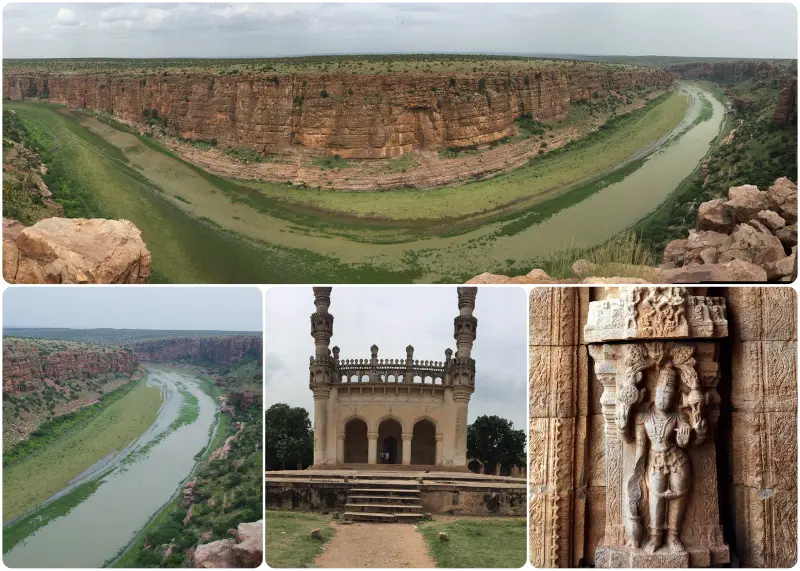
Gandikota – The canyon Fort (Gandi means canyon in Telugu and Kota means Fort). Gandikota Fort and Canyon is also known as “Grand canyon of India”!
The name itself is fascinating. If you google for it you will be struck with the spectacular image of the canyon. Of course, the canyon is the piece de resistance of Gandikota. But for a curious traveller it is much more than the canyon! Because Gandikota fort and Canyon is more than just canyon and has a lovely fort complex with temples and mosque.
We had planned to visit this place many times. But somehow it never came through. On one of those lazy Sundays, we decided to take out our car and drive. The morning drive on Bangalore – Hyderabad highway is always refreshing. After a quick cup of Coffee at a Darshini – surprisingly good coffee – at the signal before Airport the drive till Anantpur was a breeze. We wanted to have our breakfast at our regular dhabha at Pamidi which meant we had to drive another ten Kilometres more. It was worth the effort as the folks of “Dashmesh Punjabi Dhabha” makes excellent breakfast. Parathas and Egg burji was tasty and we watered it down with “special Chai” – another speciality of Dashmesh!
The road to Gandikota fort and Canyon from Anantpur via Tadapatri is excellent. The Anantpur – Kadapa state highway is a well laid four lane road. After Tadapatri we took a detour to Gandikota. We drove through green landscape, thanks to good rains this year in the traditionally drought prone region. The last ten KMs of the road till Gandikota is being relaid which slowed us down a bit.
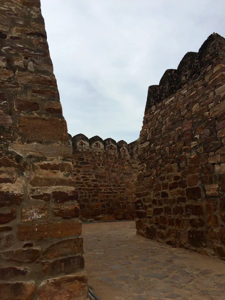
Gandikota fort and Canyon is a neglected place. We saw a Andhra Pradesh tourism hotel as we approached the fort complex. There is no signage to guide the traveller. We check with local boys and enter the walled village. At the outset, the fort looks impregnable. Let us take you through a pictorial tour of Gandikota fort and Canyon – the canyon, the fort, the mosque and temples…..
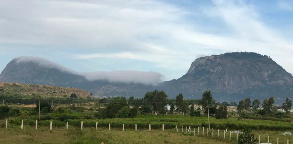
As we drove past Nandi hills, we spotted this lovely patch of clouds in the valley between two hills. It looked as if the hills had worn a white coloured wig….
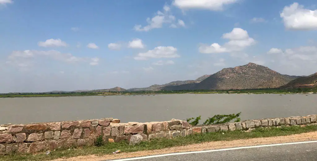
As we enter Ananatpur – Kadapa highway, we saw this huge lake – Singanamala Cheruvu. This year, the rain god has blessed the people here.
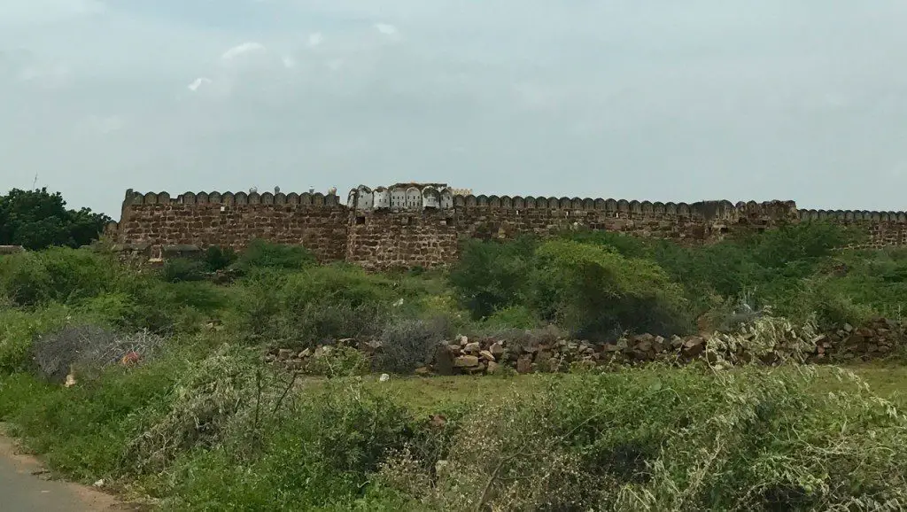
The first glimpse of the fort……
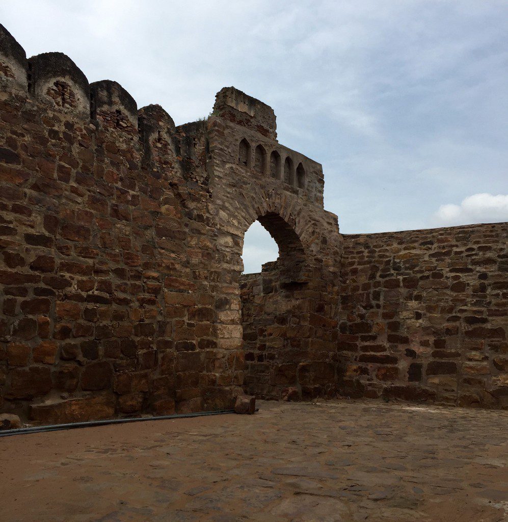
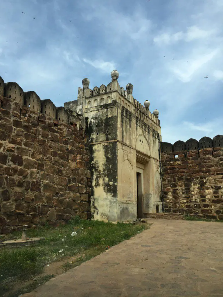
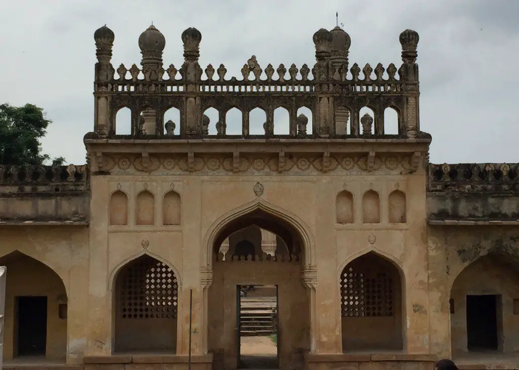
Impregnable, it has multiple gates. You can drive through the fort. One can see Islamic influence on the gates. Probably done during Nizam/Hyder Ali/Tippu Sulatn times.
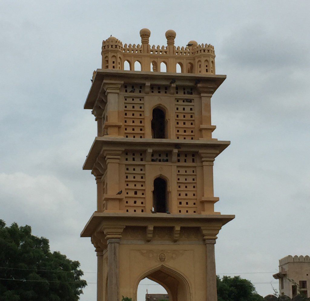
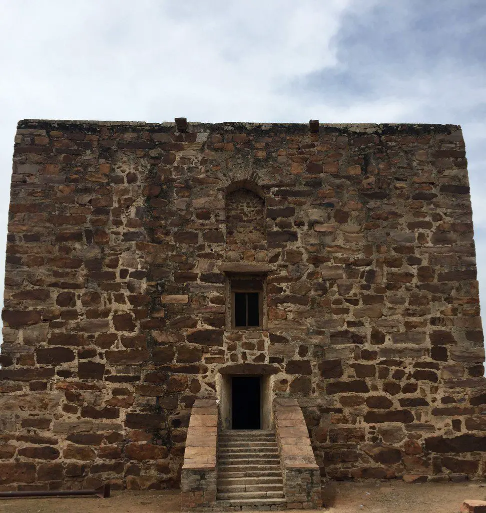
We enter Gandikota village which is inside the fort. A small village with few houses. A narrow road leads to Masjid and then onwards to the canyon. We did not want to take the risk with our big XUV and parked it close to this lovely watch tower.
A ten minutes walk in the sun bring us to the pathway leading to the Jamia Masjid, Ranganathaswamy Temple and the of course the Canyon. The first structure on the way is a granary.
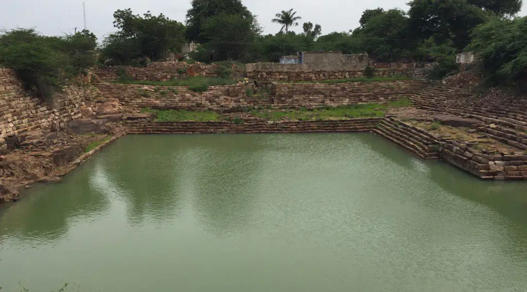
Opposite the granary is a huge royal tank. With steps all around, this must probably the source for drinking water for people in the village.
We walk towards the canyon. We pass the masjid complex and could see the large temple complex of Ranganathaswamy on a small hillock.
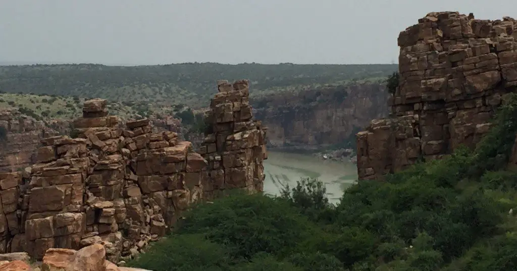
Walking over pathway strewn with huge boulders – there is no properly laid out path , we get a glimpse of the canyon for the first time through the rock formation!
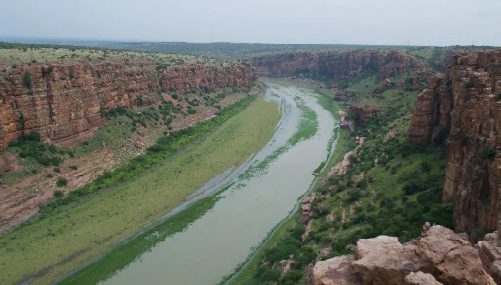
We climb over the boulders and come to the vantage point for the “wow” moment! For few miles River Pennar rushes through a gap barely 300 feet wide in Gandikota hills on either side of which rise, sheer from waters, brown cliffs 300 feet in height!
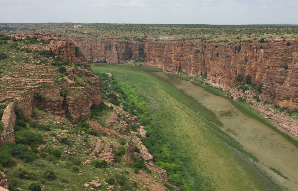
Climbing further up, we could see the left side of the canyon which was as spectacular as the right side. We could also spot the fort running all along the river.
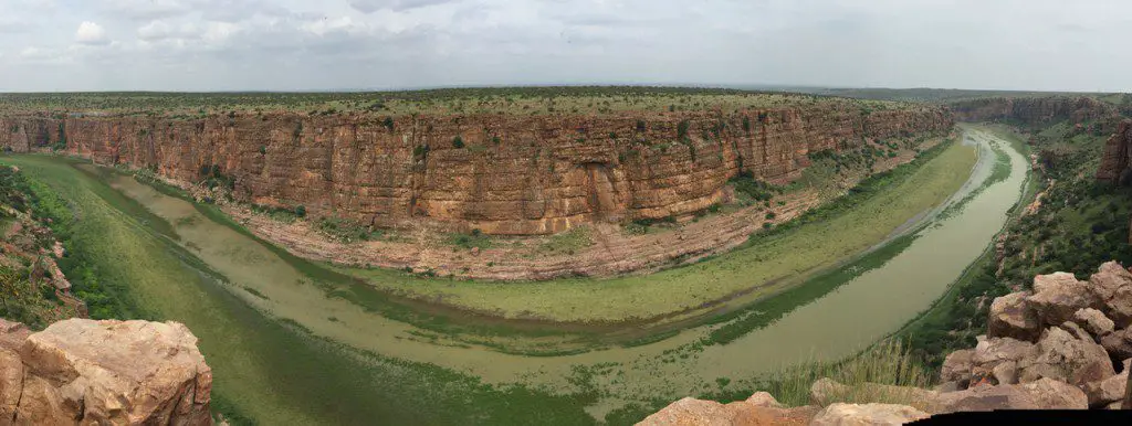
Then the view of the day! 180 degree view of the canyon. It is spectacular!
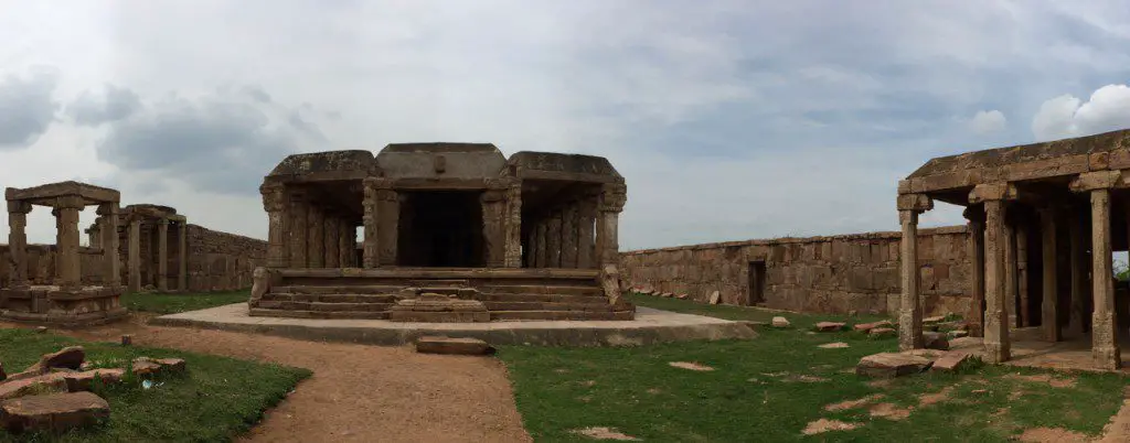
After getting down from the high point where we enjoyed the magnificence of “Gandi” or “Canyon”, we wanted now to explore the other parts of the fort. Our first stop was Ranganathaswamy temple. A large temple complex, it is built in early Vijayanagar style with main shrine in the middle surrounded corridors. The minor shrines were in the corners.
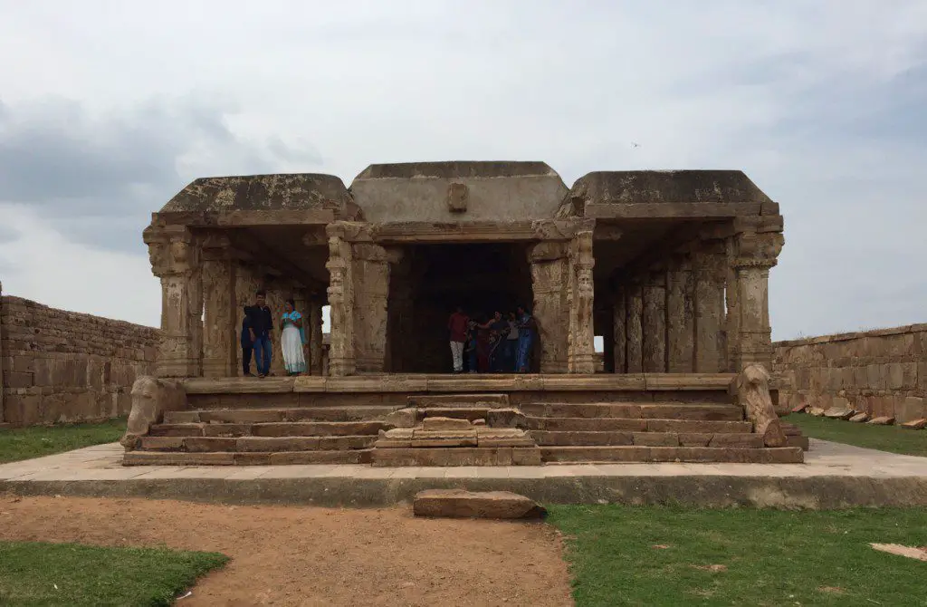
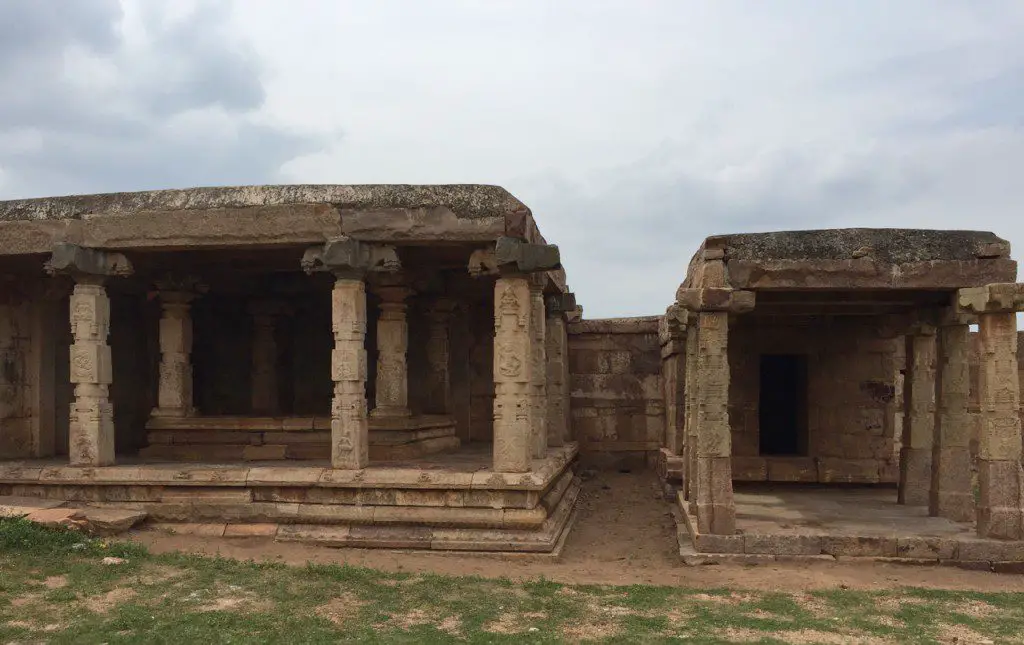
This is the main shrine. With ornately sculpted pillars, it does not have a living deity.
The dancing hall and a minor shrine in the corner of the temple complex.
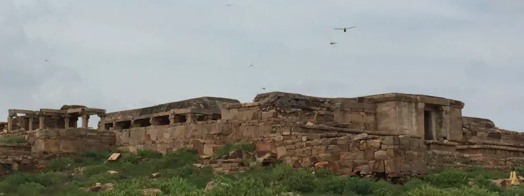
A pan shot of the temple tell us how grand this temple would have been in its heydays!
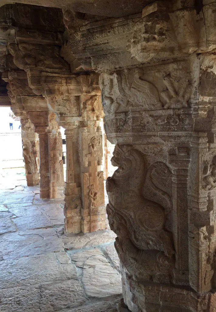
Elegantly carved stone pillars inside the temple…..
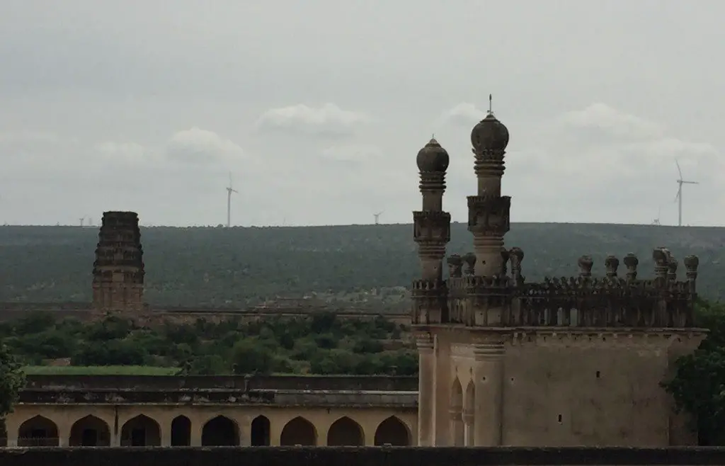
From the temple, we could capture this nice view of Towers of Jamia Masjid and the Tower of Madhavaraya temple. A testament of different cultures which thrived here.
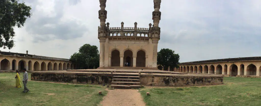
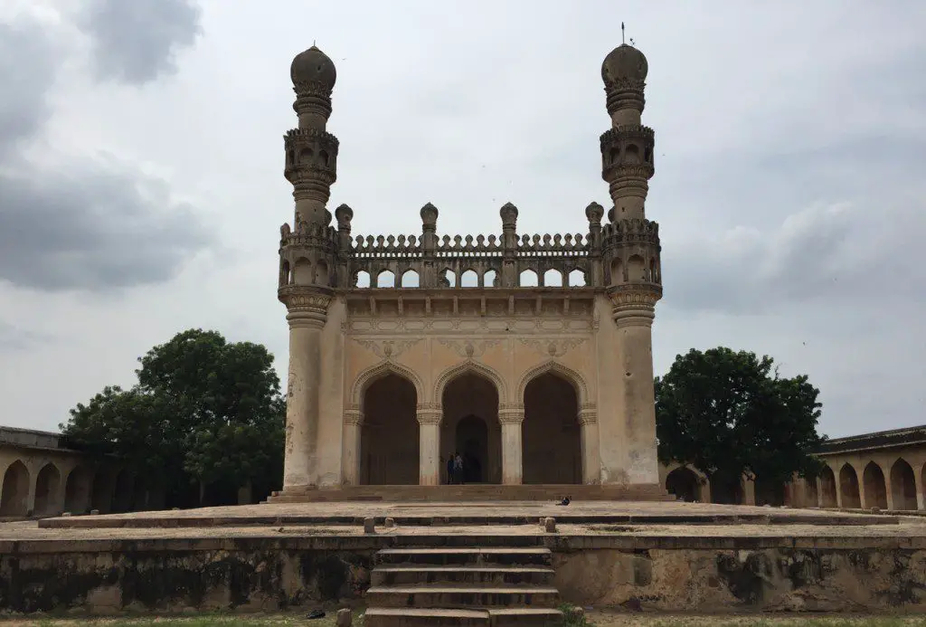
Our next stop was the sprawling Jamia Masjid. A raised platform in the middle of the mosque has a prayer hall with four towers in each corner. A replica of famous Charminar of Hyderabad.
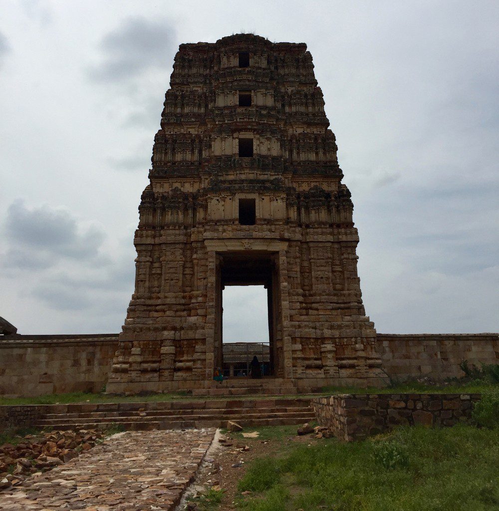
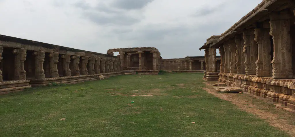
Our last stop was at magnificent Madhavaraya Temple. There is no historical facts available for this temple though it is said that the first king of Viajayanagara Empire Bukkaraya might have built it. This is a great testimony of maturity of temple architecture which started Chalukya/Pallava periods and flourished under Hoysalas and reached to its zenith under Vijayanagara kings. One can visualise the plan of grand Vittala temple in Hampi when you visit this temple.
The huge tower at the entrance of the temple. The top portion has collapsed.
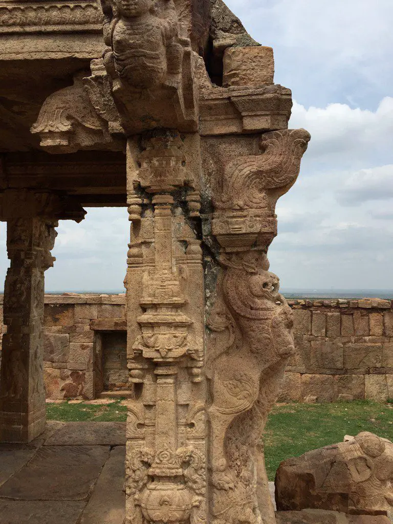
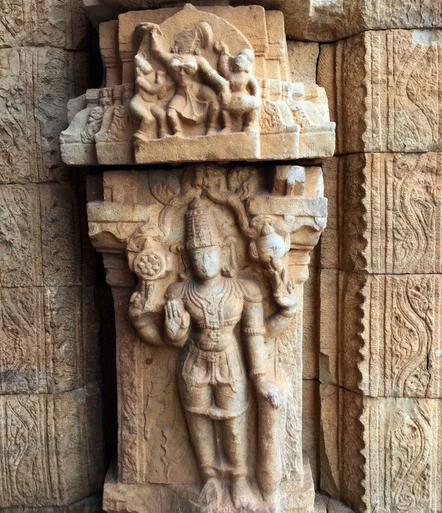
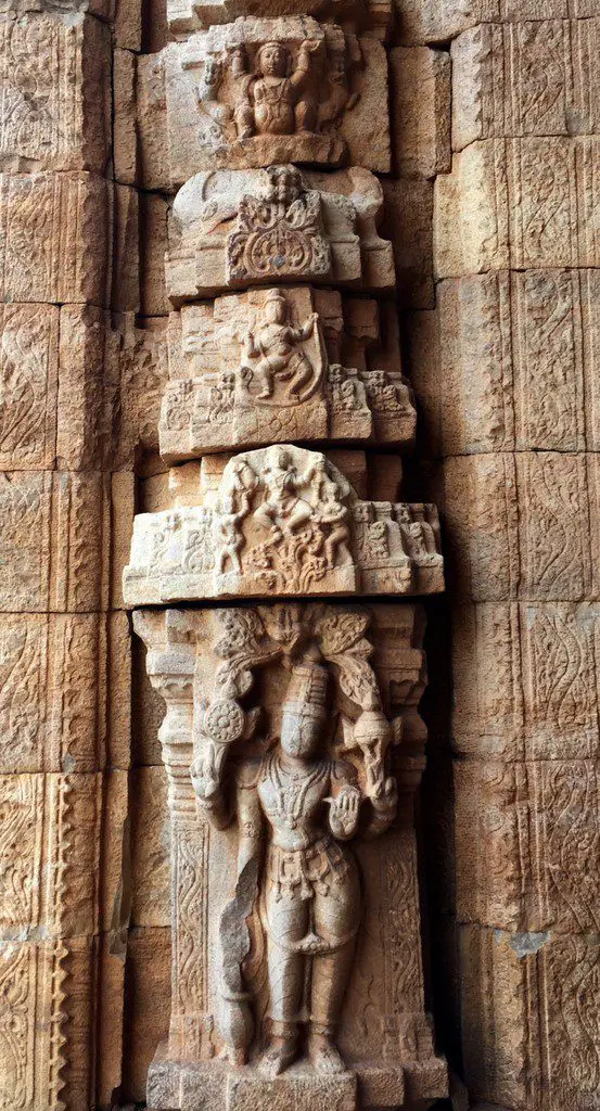
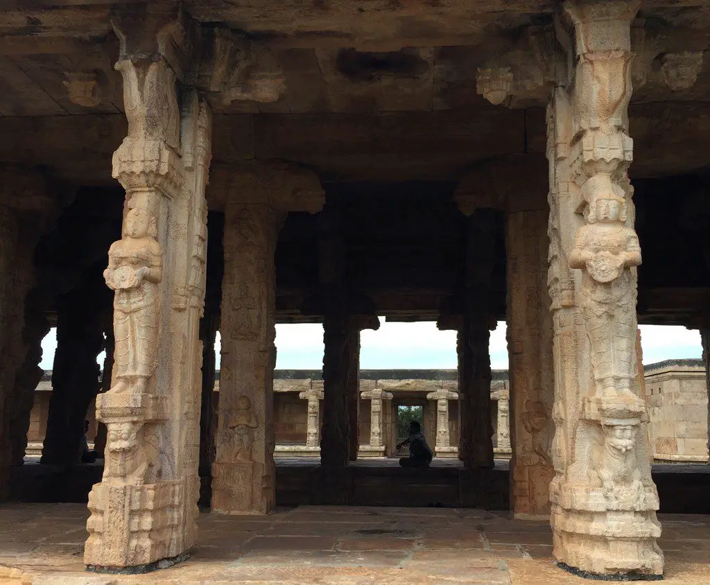
The pillars at the entrance are adorned by beautiful sculptures of Lord Vishnu, Dancing girls etc…
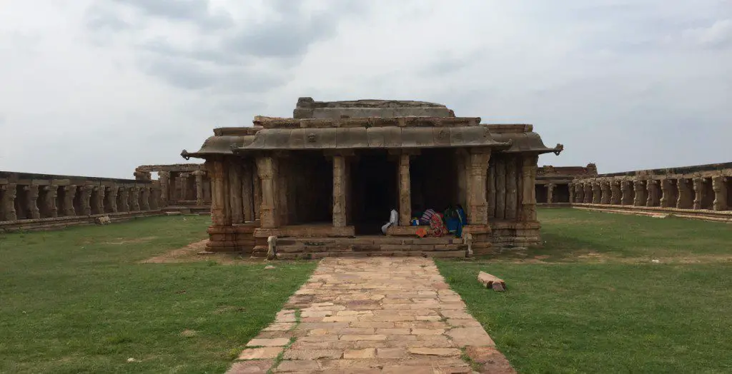
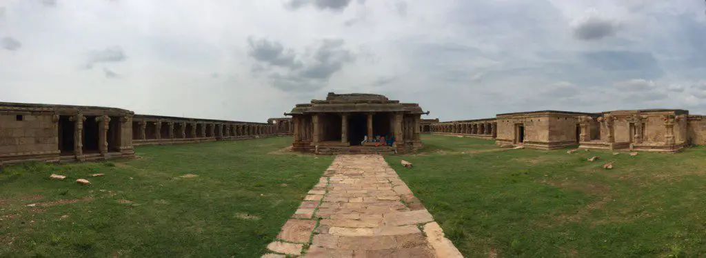
The temple complex is sprawling with main Sanctum Santorum in the middle with temple corridors on all sides.
A pan shot of the temple will give you an idea of how big the temple is….
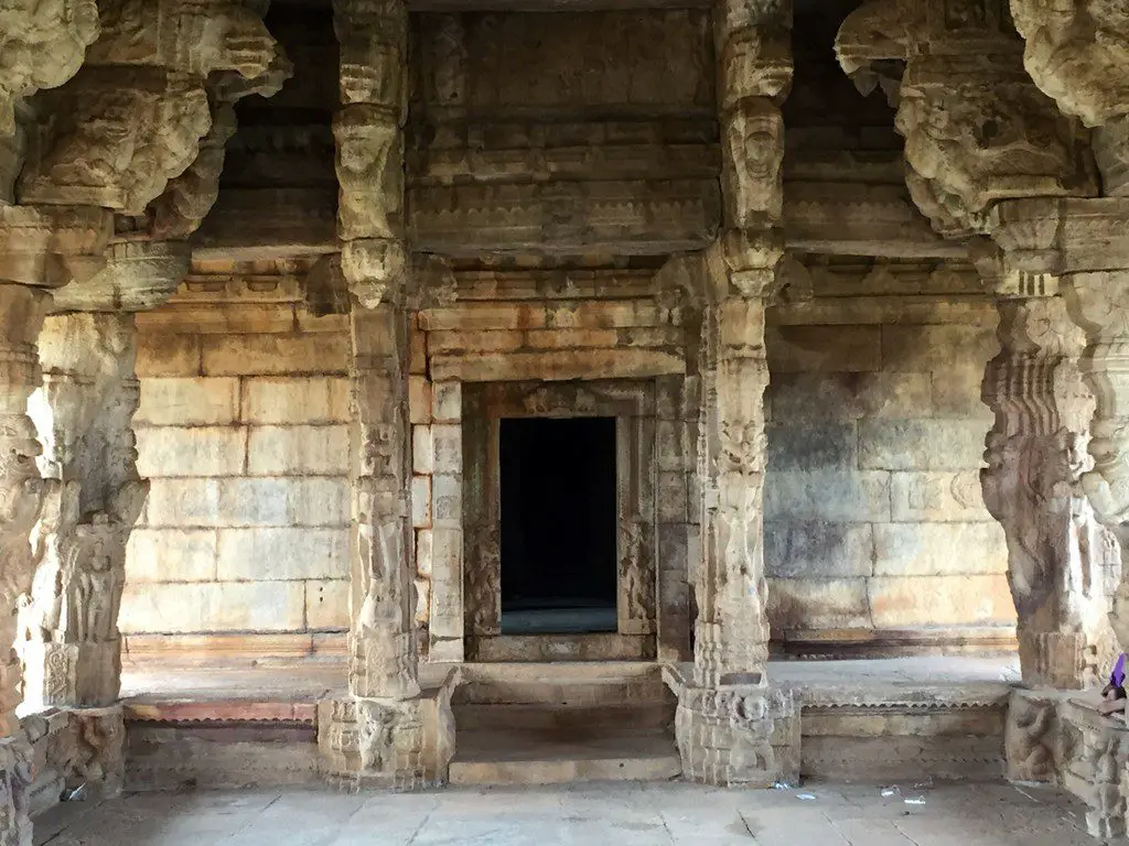
The stone pillars with lovely sculptures…
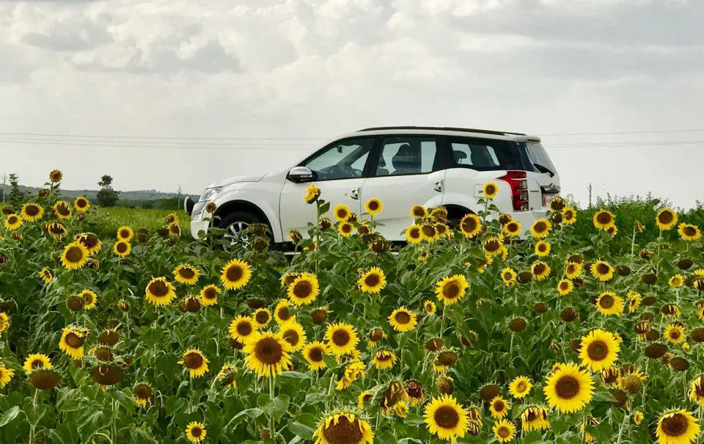
After the visit of the temple, we bid good bye to Gandikota fort and Canyon. A fabulous canyon – fort complex which is unique in the country. The drive back was a pleasant one. We stopped over at one of the numerous sun flower fields on the way for a photo session!
Travel Information
Getting there
By Road – Gandikota fort and Canyon is at a distance of 345 KMs from Bangalore via Anantpur. A good road via Anantpur connects to the place. Google Map – https://goo.gl/maps/pXndhuNqgS12 The other route is via Gorantla which is around 281 KMs Google Map https://goo.gl/maps/n8MLUvFu9ND2
By Train – The nearest station is Muddanur which is on Chennai – Mumbai route. Only passenger trains stop here. The best place to alight if coming by train is at Kadapa which is at a distance of
By Air – Bangalore is the nearest airport.
Stay Options
Andhra Pradesh Tourism Department runs a “Haritha Hotel” in the place. We went for lunch at this place and it is horrible. We don’t recommend it. The best place to stay will be Kadiri/Kadapa which has good stay options.
Travel Tips
- Gandikota can be done as a day trip if one is willing to drive 600 KMs in a day. Good roads ensure smooth drive. Please ensure you have recharged your FASTag account before departure
- Minimum three hours are required to explore the place.
- The places mentioned above are the ones which should not be missed.
- Day time gets very hot. Carry a good hat. Carry a water bottle.
- The best season to visit Gandikota fort and canyon is winter months or immediately after monsoon.
- Wear a good shoe as one has to climb over rocky boulders to reach the canyon view point.
- The place is sadly neglected. There are no pathways. No guides or no signages anywhere in the fort except for Madhavaraya swamy temple and Ranganatha Swamy temple.
- You don’t get a decent meal here. There are no restaurants except for the Haritha Hotel. But it is better avoided. We would recommend packing some food from Ananatpur or Tadipatri on the way or eat in Kadiri on the way back.
- We strongly recommend making Nandyal as the base to explore the region over the weekend. Making Nandyal as the base will help you explore
- Gandikota
- Kadiri
- Yaganti cave temple
- Bellum caves
- Mahanandi
- Tadipatri
- On day one cover Kadiri, Gandikota and Mahanandi and on the way back on day two cover Yaganti – Bellum caves and Tadipatri. This is the route you can take – Google map – with night stay at Nandyal which has good stay options.
- Carry a nice camera. Gandikota is a photographer’s paradise. A good binocular is helpful too.
- For adventurous, one may possibly trek along the river at the bottom. We are not sure whether it is allowed or if any permission is needed. Trekking along the river should be a lovely experience.
Please Share
Did you like this post on Gandikota fort and Canyon? Did you find it interesting? If yes, please share it with your friends by clicking the buttons on the side bar. Our endeavour is to share experiences.
Follow us by clicking the buttons on the sidebar.

